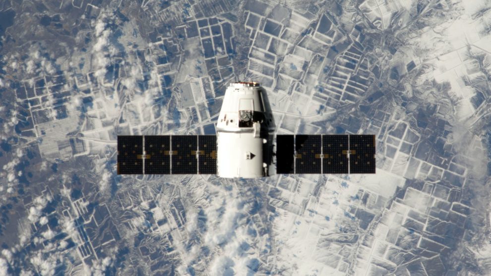
The role of GPS in Ukraine. The large-scale aggression launched in 2022 by Russian President Vladimir Putin has turned into one of the deadliest wars in recent times. Global Positioning System (GPS) satellites have proved particularly useful to the Ukrainian Armed Forces in their effort to defend their homeland. Along with civilian applications that are all extended uses of communication and data, they have become an essential component of military operations around the globe.
- GPS military uses include control and potential engagement of nuclear weapons in the case of attack, the tracking of military personnel and weapons systems, and intelligence and surveillance operations.
The vulnerabilities of GPS. Satellites are susceptible to a vast array of attacks, including kinetic threats like anti-satellite missiles and cyberattacks, the most common of which is jamming (i.e. interfering with GPS signals). The jamming of Ukrainian satellites throughout the war has rendered them useless, hindering the mobility of troops and impeding the delivery of supplies.
- To mitigate the effects of jamming, the United States provided Ukraine with access to its NavstarGPS system, a series of satellites operated by the US Air Force. SpaceX CEO Elon Musk has also given Ukraine satellite access via Starlink terminals, which provide internet connectivity and aid in secure communications among Ukrainian military forces.
- After the Starlink satellite signal was jammed, SpaceX created anti-jamming software. Similar applications could potentially be developed to enhance the resistance of GPS satellites.
Alternative Technology to GPS. Topographic mapping, employed by Cruise missiles prior to GPS, is a useful technology that collects geospatial data obtained from direct observations and measurements of the Earth’s surface. It aims to accurately represent the aspects of Earth’s infrastructure, physical features and objects in a given area. This technique boasts several advantages compared to GPS, including precision in most environments – even urban areas that pose challenges in accuracy to GPS – and operational security, given the reduced reliance on outside signals and the resistance to jamming.
- Topographic mapping can be used in most environments due to its ground-based measurements to provide accurate geospatial data. This includes urban areas, where GPS struggles due to the canyon effect, where tall buildings and skyscrapers can obstruct the receiver on land, rendering the signal degraded or lost.
Artificial Intelligence (AI) could also address the weaknesses in GPS for military use. For instance, a Parma-based startup, Difly, has developed AI-enabled sensors that, installed on small drones, can find land mines with great accuracy. This technology has been tested by the Italian Army with a success rate of over 95% and is about to be employed by the Ukrainian military.
- More broadly, AI-enhanced technology could help integrate synergically GPS and topographic mapping. Indeed, relying on Google Earth mapping to update and upgrade topographic mapping technology would enhance the resilience of missile guiding systems or military drones.
- One could work on AI-driven software weighing the information generated by both GPS and enhanced topographic mapping. On occurrence, the software could rely just on the latter, if the former were unavailable due to satellite attacks.
- AI would also allow for increased precision. Machine learning algorithms entail increasing dynamic accuracy as such systems “learn” over time.
The bottom line. As satellites become more and more susceptible to external threats, governments and military agencies around the world are rushing to identify comparable solutions to provide the same, or greater, benefits. The Russian aggression in Ukraine is a stark reminder of the urgency to do so and assess past technologies in light of recent innovations.


